
What is Discovery Mode?
It keeps watch for nearby markers while you travel and can alert you when something worth stopping for is close.
RoadHistorical finds the 16,000+ markers around you, reads them aloud, and keeps track of every stop.


Free to download on iPhone and Android.
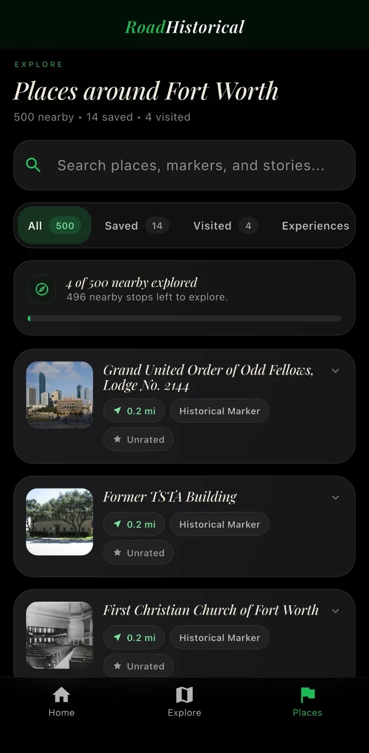
See every marker around you. Sorted by distance, with 16,000+ across Texas.
Hear any marker read aloud. Try it on this one.
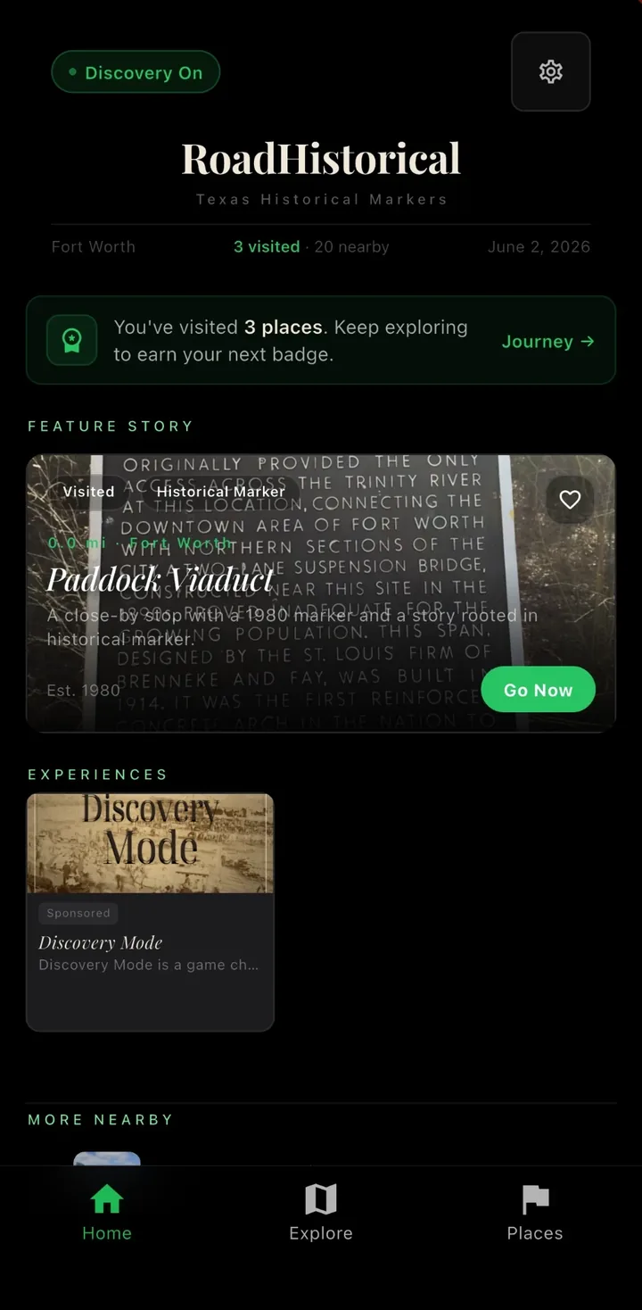
Open to your local history. A featured story and nearby markers the moment you open the app.
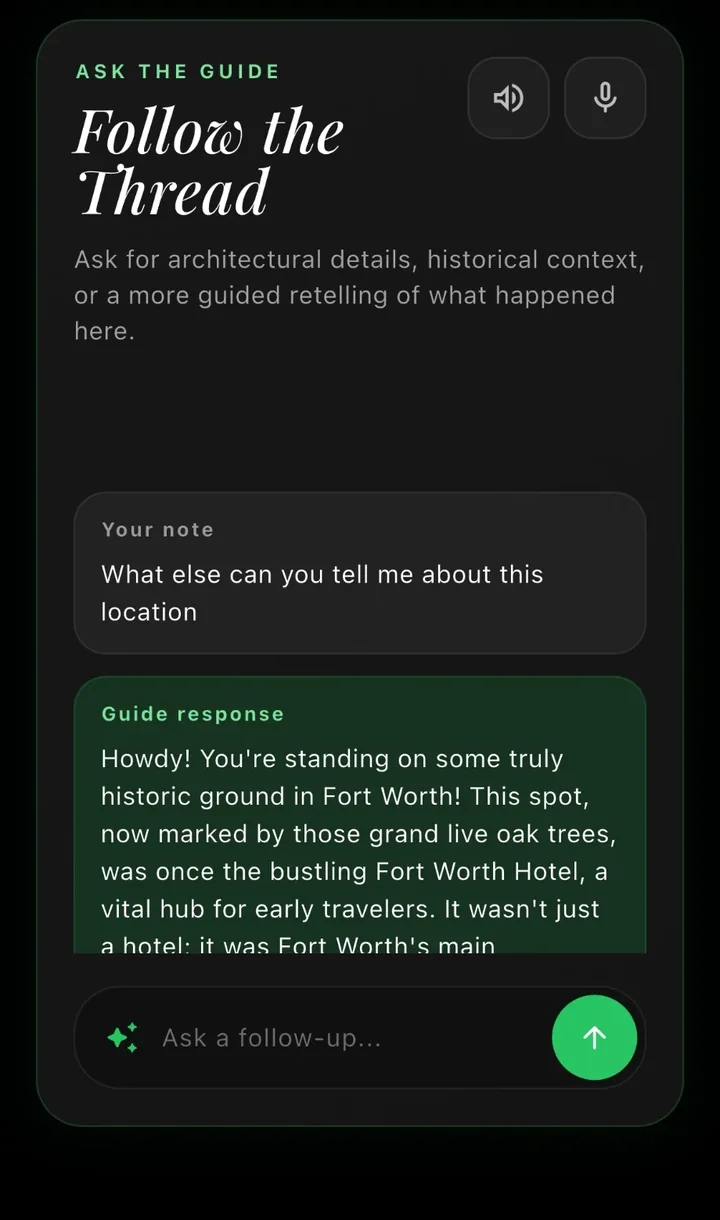
Ask the guide what happened here. Then keep asking.
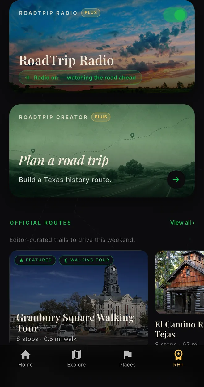
RoadHistorical+RoadTrip Radio narrates the road ahead. Hands-free, with RoadHistorical+.
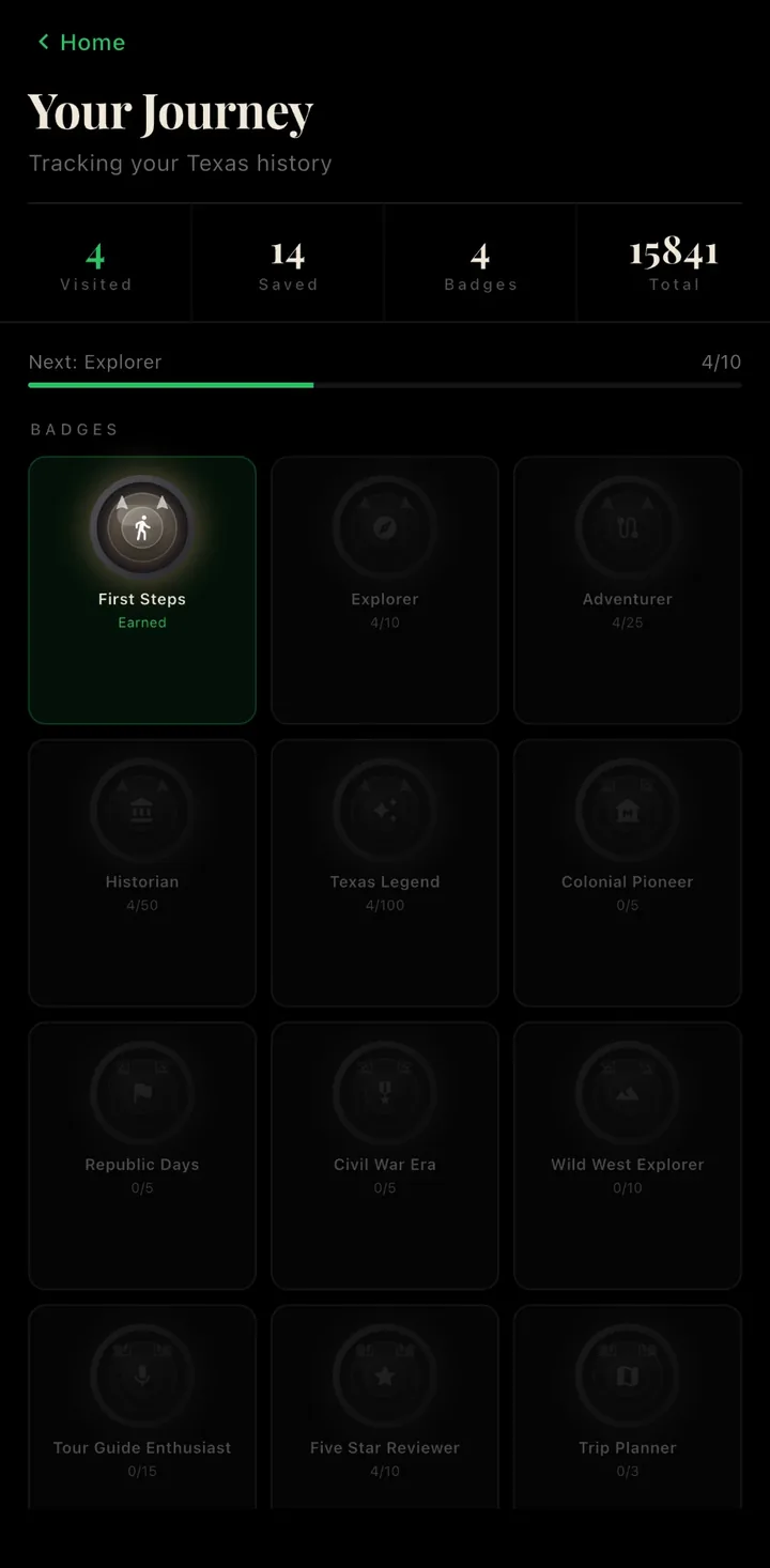
Collect every stop. Badges and milestones for the places you visit.
Discovery
Turn on Discovery Mode and RoadHistorical watches for markers along your way, then lets you know when one is close. Open any of them for the full story.
Discovery Mode. Keeps watch for markers while you travel and lets you know when one is close enough to stop.
Places around you. Browse markers by distance, filter by saved or visited, or search by name.
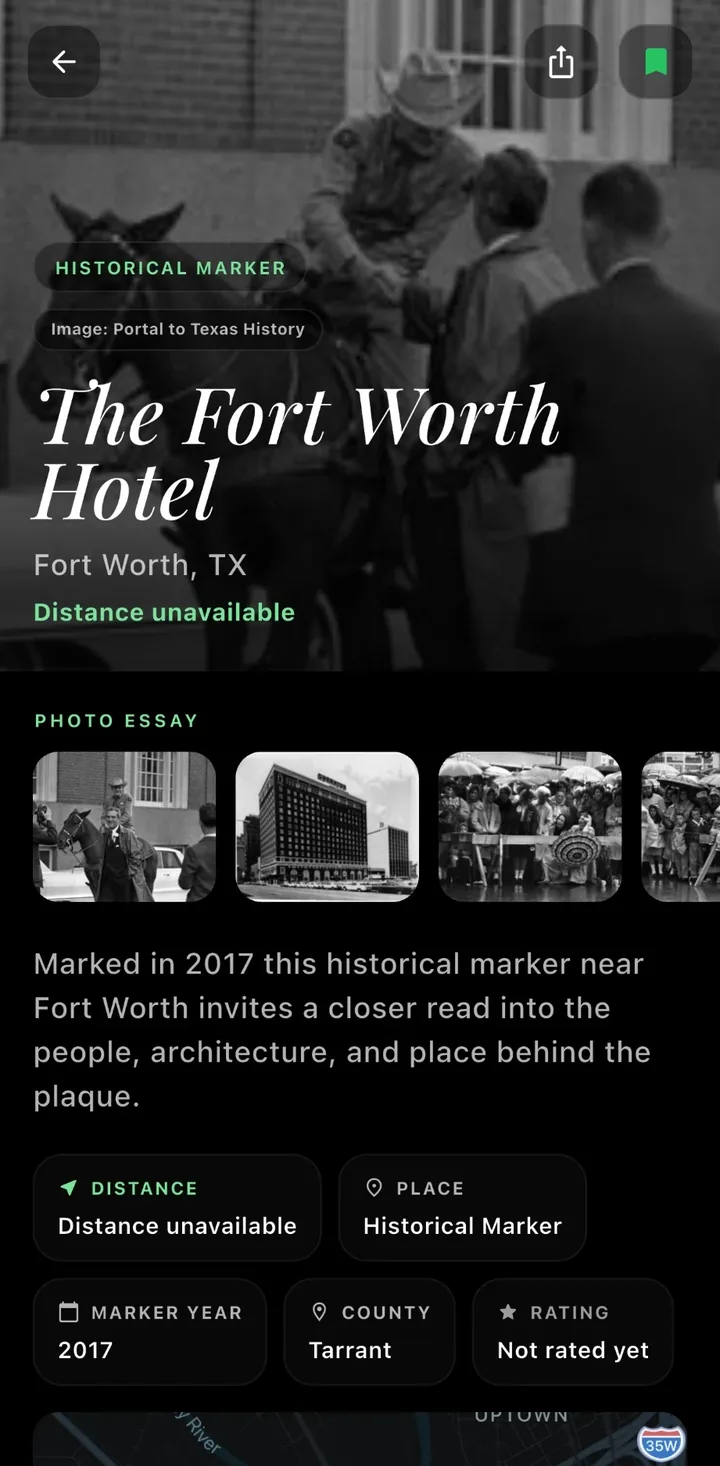
More than the plaque. Each marker opens to a photo essay, its history, and what else is nearby.
AI Tour Guide. Ask about the architecture, the people, or what happened here, and keep the conversation going.
RoadHistorical+
RoadHistorical+ adds hands-free narration, custom routes, and editor-picked trails. $5.99 a month, or $39.99 a year with a 7-day free trial.
See everything in RoadHistorical+RoadTrip Radio. Hands-free narration that watches the road and tells the stories you pass.
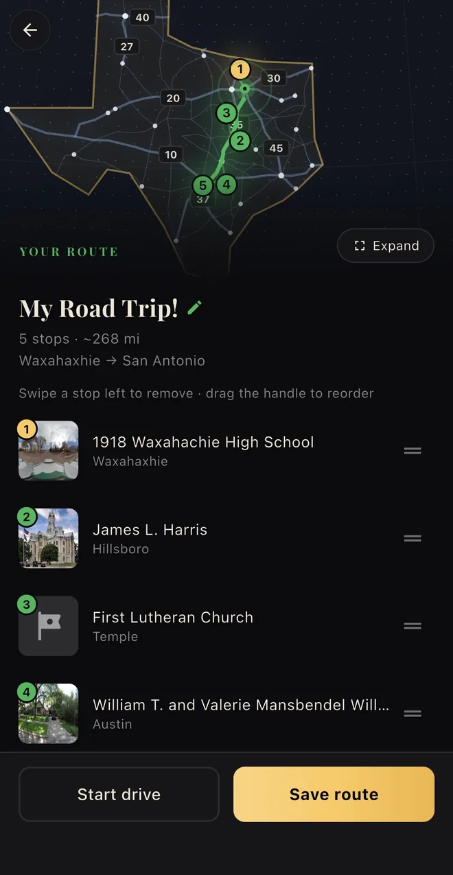
RoadTrip Creator. Build a custom Texas history route and watch it come together on the map.
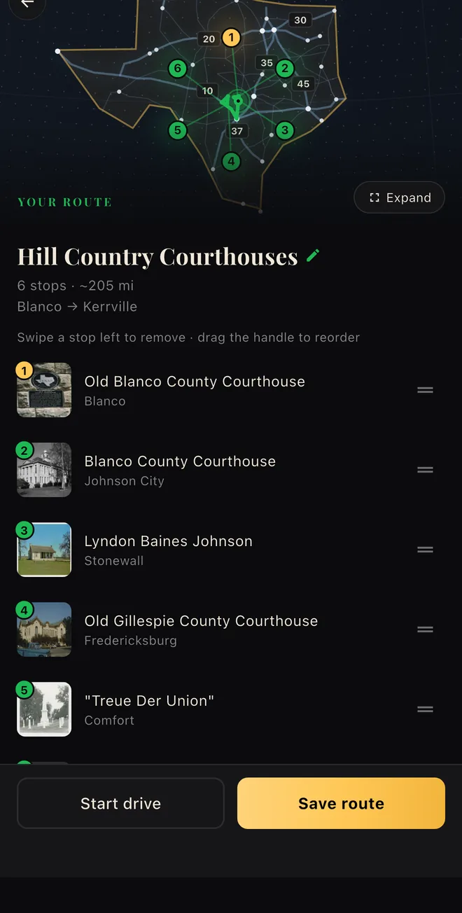
Official Routes. Editor-curated trails with named stops, ready to drive or walk this weekend.
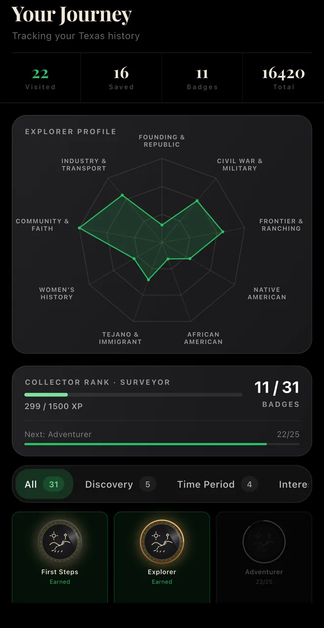
Exclusive Badges. Plus-only badges and collector ranks for serious explorers.
Save and track. Mark stops as Want to Visit or Visited, and filter by either.
Badges and milestones. Every stop counts toward badges like First Steps, Explorer, and Adventurer.
Your area, explored. See how many of the markers near you you have visited, and how many are left.
A nudge to keep going. RoadHistorical tells you how close you are to your next badge.
Town by town. Browse markers in 991+ Texas cities before you go.
Facts at a glance. The year, county, and place for every marker, right under the story.
“I drive trucks and had just come out of the Rio Grande Valley when I downloaded the app. It definitely educated me about several historical markers on my way back to Dallas that I did not know existed.”
Discover Texas history with the places that preserve it.
Free to download on iPhone and Android.
It keeps watch for nearby markers while you travel and can alert you when something worth stopping for is close.
Yes. Core marker discovery is built around fast local cached data so the app stays useful on the road.
Browsing is approachable for new users, and signing in helps keep saved places and progress tied to your account.
Yes. You can save stops for later, mark places visited, and track progress features like badges and trips.